Hema maps give Australian 4WD drivers a power-free way to plan routes and understand the surrounding region. They work best alongside digital navigation, not in place of it. Use a printed map to compare routes, identify nearby towns and roads, and retain a second navigation source if a device is damaged, flat or unavailable. Digital options remain available through our GPS collection.
Need it fitted? Our Ferntree Gully and Pakenham workshops supply and install everything in this range. Not sure which option suits your vehicle? Call our friendly staff on
1300 633 762 before you order.
WHAT THE HEMA RANGE COVERS
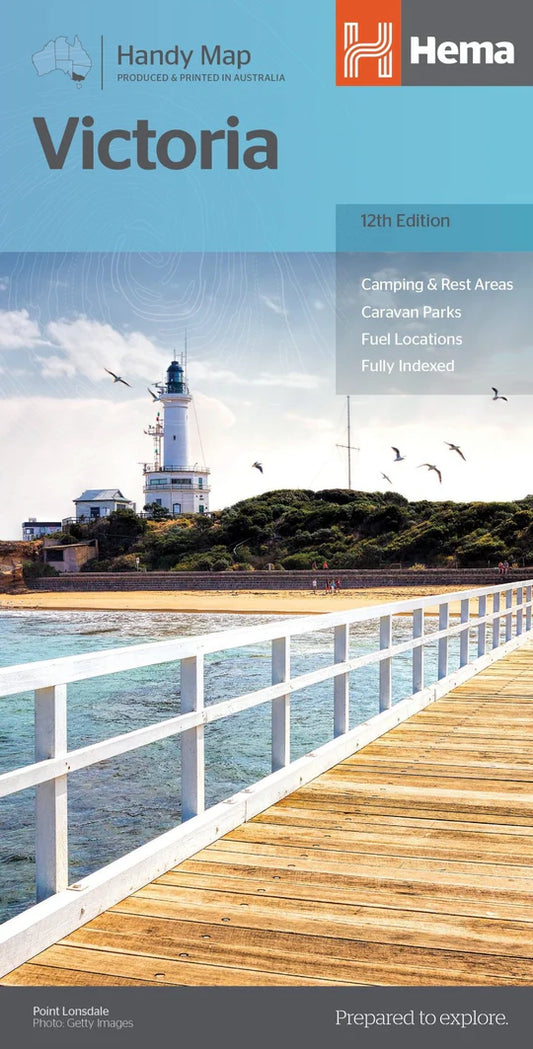
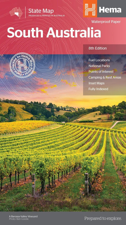
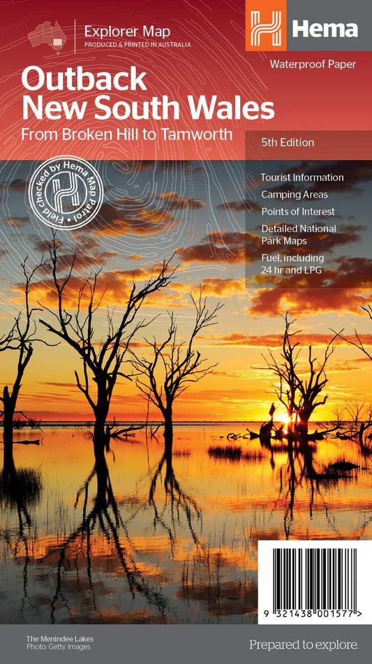
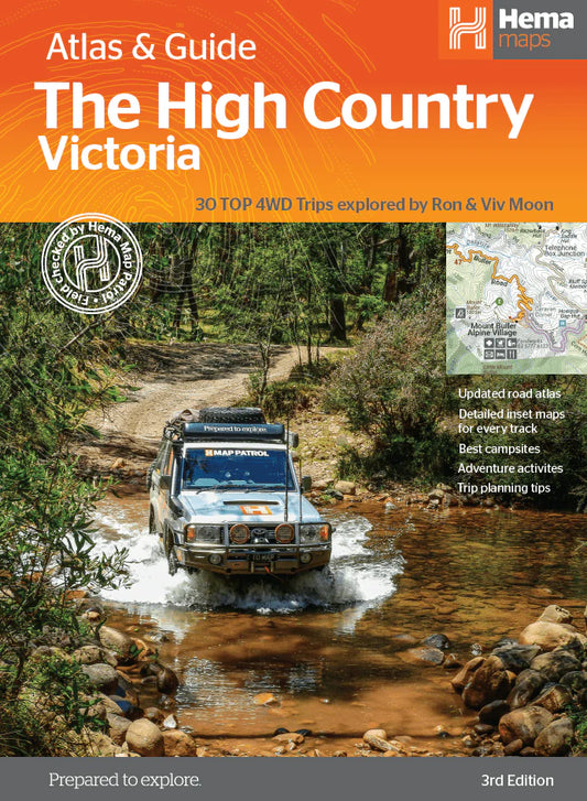
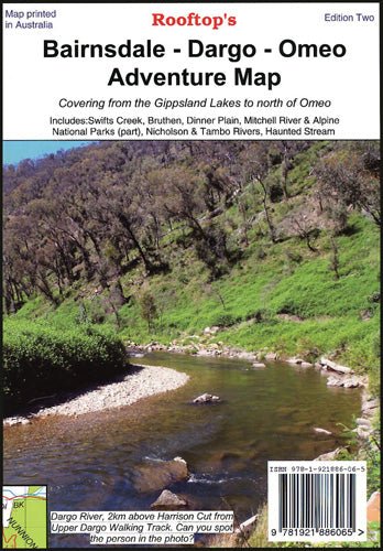
This collection is dedicated to Hema maps, atlases and guides for Australian touring. Regional coverage includes Cape York, the Kimberley, the Pilbara, the Top End, Tasmania, South Australia and Victoria. Victorian options extend across the High Country, Gippsland, Wombat State Forest, Toolangi, Dargo, Mansfield and other popular touring areas.
Formats include the Cape York Atlas & Guide, The Victorian High Country Atlas & Guide, The Kimberley Map, state and handy maps, camping guides and regional sheets. Check the individual product title and description to confirm that it covers the roads, parks or tracks relevant to your trip.
WHY PRINTED MAPS STILL MATTER
A paper map provides a wide regional view without relying on power, a mount, a charging cable or a working screen. That makes it useful both during trip planning and as a backup in the vehicle. It is also easier to compare alternative routes across a large area on one sheet than to move repeatedly around a smaller display.
Printed navigation still has limits. Road conditions, closures, access rules and private-property boundaries can change after publication. A Hema map should therefore be used with current advice from land managers, authorities and local information sources.
CHOOSE A MAP BY USE CASE
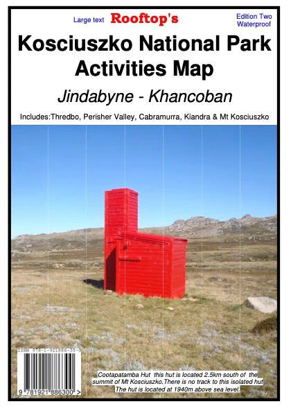
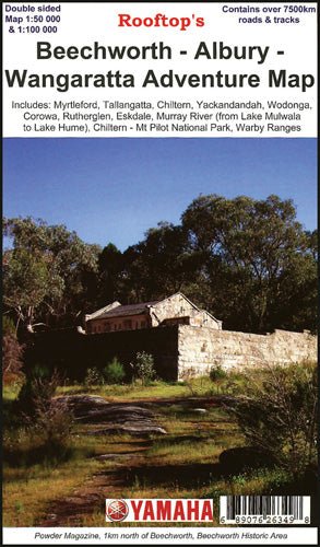
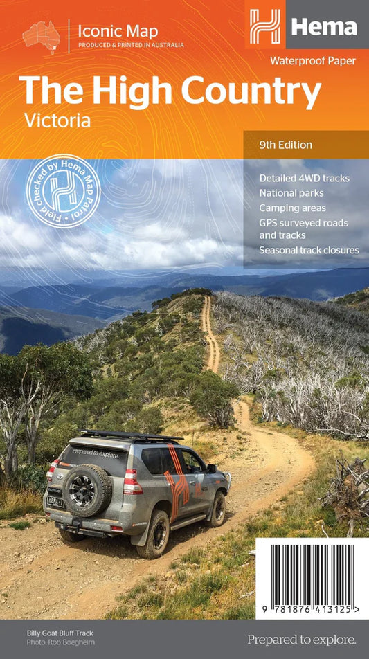
Start with the area and the level of context required. A Hema 4WD touring atlas or atlas and guide suits a trip that covers a broad region and needs supporting destination information. A regional adventure map is better suited to focused touring around places such as Dargo, Mansfield, Marysville or the Victorian High Country. A topographic map or forest map can provide a closer view of a defined area, but detail varies between publications.
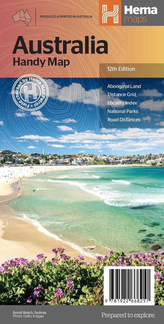
State maps and handy maps suit highway approaches and broad orientation. Camping guides are useful when campsite information is the main requirement. For a longer journey, combine broad regional coverage with the most relevant local sheet rather than assuming one publication covers every part of the route.
USE HEMA MAPS WITH GPS
Use printed Hema maps for planning and regional context, then use a suitable GPS for turn-by-turn reference in the vehicle. Before departure, compare the planned digital route with the printed map and note practical alternatives. At camp, the paper map makes it easier to review the next section without relying on a charged device.
The wider GPS collection sits separately from this Hema collection. Device compatibility, installed mapping and available digital coverage vary, so confirm those details against the relevant product before choosing a navigation setup.
READ THE MAP BEFORE YOU LEAVE
Check the publication's scale, legend, edition and stated coverage. Learn how it represents road classes, tracks, boundaries, watercourses and points of interest before relying on those symbols in the field. Confirm that adjoining sheets overlap enough for the planned route, particularly where a journey crosses regional boundaries.
A Hema publication is a planning aid, not a live report. Verify closures, seasonal restrictions, permits, weather and access conditions close to departure.
PAIR NAVIGATION WITH EMERGENCY EQUIPMENT
Navigation and emergency communication solve different problems. A Hema map and compass can support orientation, while a GPS provides in-vehicle position and route guidance. Neither automatically calls for help. For remote travel, consider appropriate emergency communication equipment and review the EPIRB range as part of the wider vehicle setup.
Equipment choice depends on the destination, vehicle, group and available communications coverage. The Hema range includes state and handy maps, regional adventure and forest maps, touring atlases, atlas and guide titles, and camping guides. Choose navigation and emergency equipment around the trip rather than treating one product as complete redundancy.
KEEP MAPS CURRENT AND USABLE
Protect Hema maps from moisture, dirt and repeated damage along fold lines. Store them where they remain accessible if other equipment stops working. Before each major trip, check the edition and compare the mapped route with current official information. Replace or supplement a publication when its coverage no longer matches the journey.
Maps and atlases ship from our Ferntree Gully and Pakenham workshops. If the trip crosses several regions or requires both broad and local coverage, talk to the Ultimate Offroad team about selecting a practical combination from the Hema range.
Submit a service enquiry with your vehicle details, or email sales@ultimateoffroad.com.au, and our friendly staff will confirm fitment, quote the work and arrange a booking at Ferntree Gully or Pakenham.






 Read the Privacy Policy













 1300 633 762