


-
Vendor:Hema
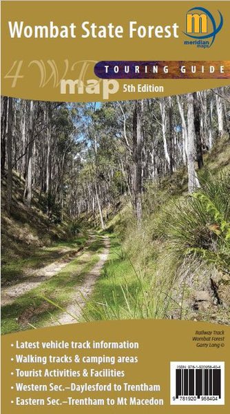
Wombat State Forest 4WD Map
Double-sided 1:50,000 scale map covering the entire Wombat State Forest from Daylesford through to Woodend and the Macedon Ranges. Ideal 4-wheel drive map which highlights all the tourist activities and features of the region such the wineries, mines, mineral spas, picnic grounds and more....- $10.55
$14.95- $10.55
- Unit price
- per
-
Vendor:Hema
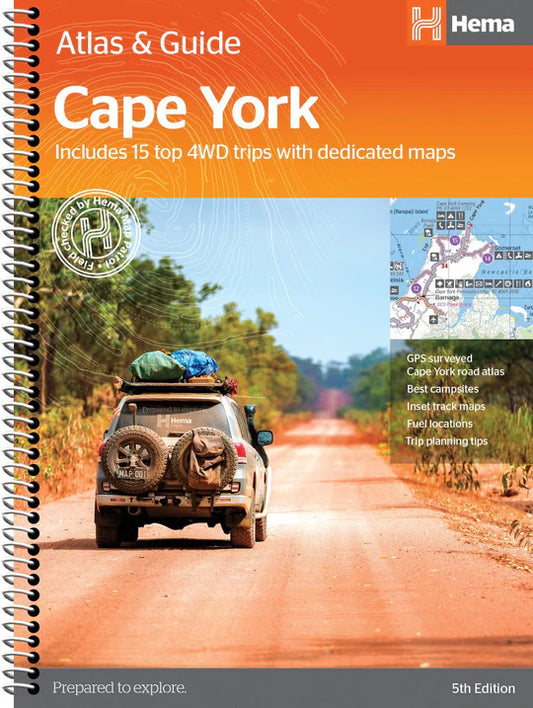
Cape York Atlas & Guide
Hema Maps’ Cape York Atlas & Guide helps you make the most of your visit to this remarkable part of Australia. With detailed coverage of The Tip, the coast from Cairns to Cooktown, Rinyirru (Lakefield) National Park, the Peninsula Developmental Road, Old Telegraph Track,...- $49.95
- $49.95
- Unit price
- per
-
Vendor:Hema
Birdsville & Strzelecki Tracks Map
Explore the stunning landscapes and attractions of the Birdsville and Strzelecki tracks with the Birdsville & Strzelecki Tracks Map from Westprint Maps. This magnificent area of outback Australia stretches from Betoota in the north, through Birdsville, and south to Marree. The map also covers...- $14.95
- $14.95
- Unit price
- per
-
Vendor:Hema
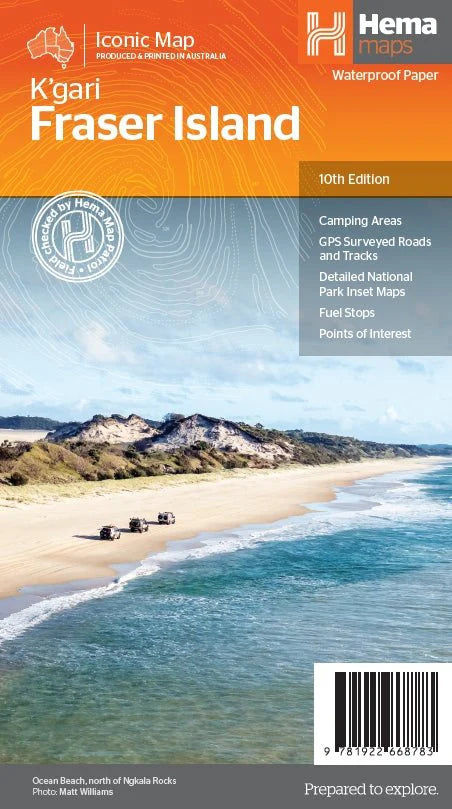
Fraser Island (K'gari) Map
K'gari (Fraser Island) is one of the most diverse 4WD destinations in Australia, with beaches, rainforests, perched lakes, sand blows, and more fitting into the world’s largest sand island. The mapping is highly detailed (1:130,000), with 4WD tracks field checked by the Hema Map Patrol,...- $15.95
- $15.95
- Unit price
- per
-
Vendor:Hema
Pilbara & Coral Coast Map
This regional waterproof map of the Pilbara and Coral Coast is ideal for discovering the northern reaches of Western Australia. The main map covers the diverse marine attractions around Shark Bay, François Peron National Park and the Ningaloo Reef. It also stretches to the...- $15.95
- $15.95
- Unit price
- per
-
Vendor:Hema
Tasmania Handy Map
A compact map of Tasmania for touring throughout the state with a distance grid and index for planning and reference. Marked on the mapping are highways, major and minor roads, camping and rest areas, 24-hour fuel, information centres, picnic areas, caravan parks, and lookouts....- $11.95
- $11.95
- Unit price
- per
-
Vendor:Hema
Top End and Gulf Map
This regional waterproof map of the Top End and Gulf is ideal for discovering the northern parts of Australia's NT by 4WD. It includes a main map of the Darwin region, Judbarra / Gregory National Park, Nhulunbuy, Keep River National Park and Boodjamulla (Lawn...- $11.50
$15.95- $11.50
- Unit price
- per
-
Vendor:Hema
Top End National Parks Map: Litchfield, Katherine & Kakadu
A regional map that features Litchfield (1:160,000), Katherine Gorge and Kakadu (1:350,000) national parks. A Darwin region map is included (1:850,000) along with extensive tourist information for Darwin and the surrounding region, Arnhem Highway to Kakadu, Mary River, Stuart Highway to Katherine, Litchfield National...- $11.00
$15.95- $11.00
- Unit price
- per
-
Vendor:Hema
4WD Adventures - Atlas
Discover Australia’s Top 100 4WD tracks using this guide as your ultimate off-road adventure tool. Each page features colourful, glossy imagery and detailed tracks personally mapped out and driven by the Hema Map Patrol and our team of experts, for the most up-to-date information...- $69.95
- $69.95
- Unit price
- per
-
Vendor:Hema
4WD Treks Close to Melbourne - Atlas
Fully updated and field checked by the Range Rover Club of Victoria, this fourth edition of 4WD Treks Close to Melbourne will take you on 20 of the best 4WD adventures within a couple of hours drive of the city.Whether you are looking for...- $49.99
- $49.99
- Unit price
- per
-
Vendor:Hema
4WD + Camping Escapes South East Queensland - Atlas
This guide from Hema outlines the best four-wheel driving and camping locations in the picturesque South East Queensland featuring: Brisbane & Moreton Bay Islands Sunshine Coast Hinterland & South Burnett Cooloola Coast Main Range & South West Each regional section outlines the area’s 4WD Tracks...- $29.95
- $29.95
- Unit price
- per
-
Vendor:Hema
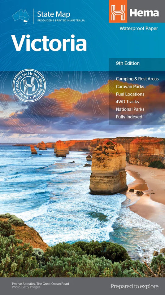
Victoria State Map
A comprehensive map of Victoria Designed for touring throughout Victoria, the state map has camping and rest areas, 24-hour fuel and points of interest marked on the mapping. On the reverse are CBD, the surrounding region and through road maps of Melbourne in addition...- $15.95
- $15.95
- Unit price
- per
-
Vendor:Hema
Caravan Parks 6
As the most comprehensive caravan and tourist park publication in Australia, Caravan Parks Australia-wide is a must-have travelling companion. Whether you are a caravanner, motor homer or a traveller looking for cabin-style accommodation, this guidebook contains all the information you need to find a place to stay. A...- $59.95
- $59.95
- Unit price
- per